The Ministry of Environment and Forestry of the Republic of Indonesia (MoEF) has published on the Ministry’s official website an Attachment to the Minister of Environment and Forestry’s Decree Number 4732 of 2017 on the Indicative Maps of the Directive Utilization of Production (SK 4732). Unfortunately, the attachment uses a non-operational scale, i.e. 1: 500,000, although the Geospatial Information Agency has published a report concluding the scale of a map for operational uses in forestry gazettement and other spatial allocation must be at minimum 1: 50,000.
The Anti-Forest Mafia Coalition appreciates the MoEF publishing the maps, but still requests that the operational maps be published as indicated in the Coalition’s previous statement.
The Coalition is analysing the maps found in the Attachment to update its previous release, and it will be published soon at http://pasopatiproject.id/land-swap-hti-monitoring/.

Indonesian civil society calls on Government for transparency and accountability to protect and restore peatlands and forests – CSO Joint Statement


patial analysis on potential land swap areas (all Indonesia)

Spatial analysis on potential land swap areas (Kalimantan)

Artikel Lainnya
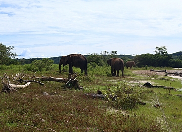
Entering the Elephant House

Javan rhino : conservation setbacks in ujung kulon national park (2023)
Jakarta, 11 April 2023 - Eighteen Javan rhinos (Rhinoceros sondaicus sondaicus) have disappeared in Ujung Kulon since 20...
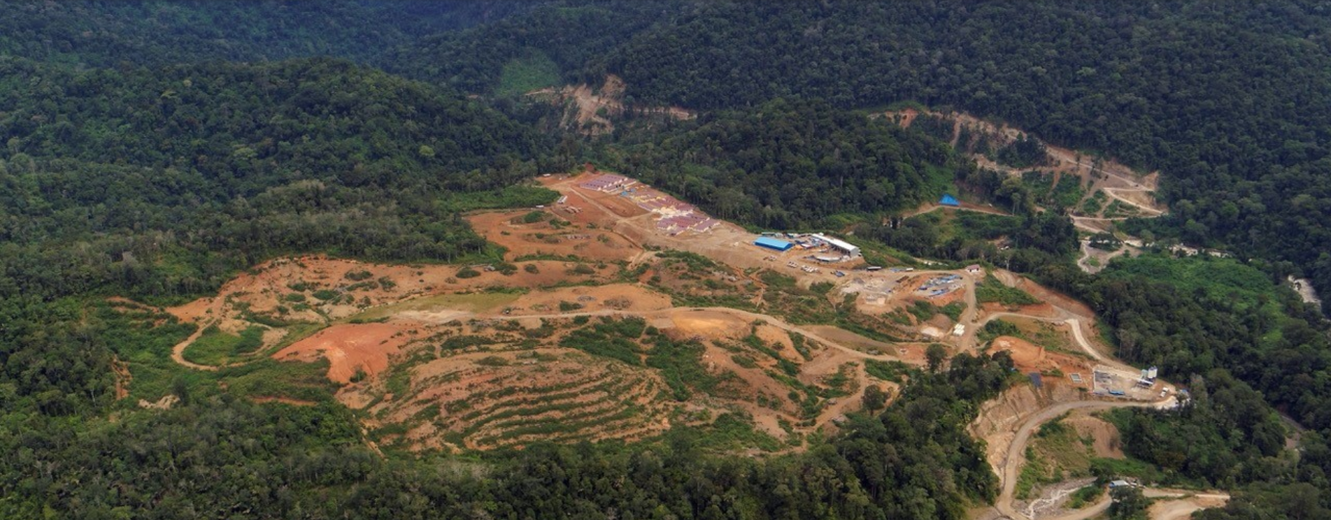
New Analysis: Batang Toru Hydroelectric Plant Unnecessary
JAKARTA, 22 JANUARY 2020 — The Batang Toru Hydroelectric Power Plant (PLTA) built with a budget of USD 1.6 billion (equi...